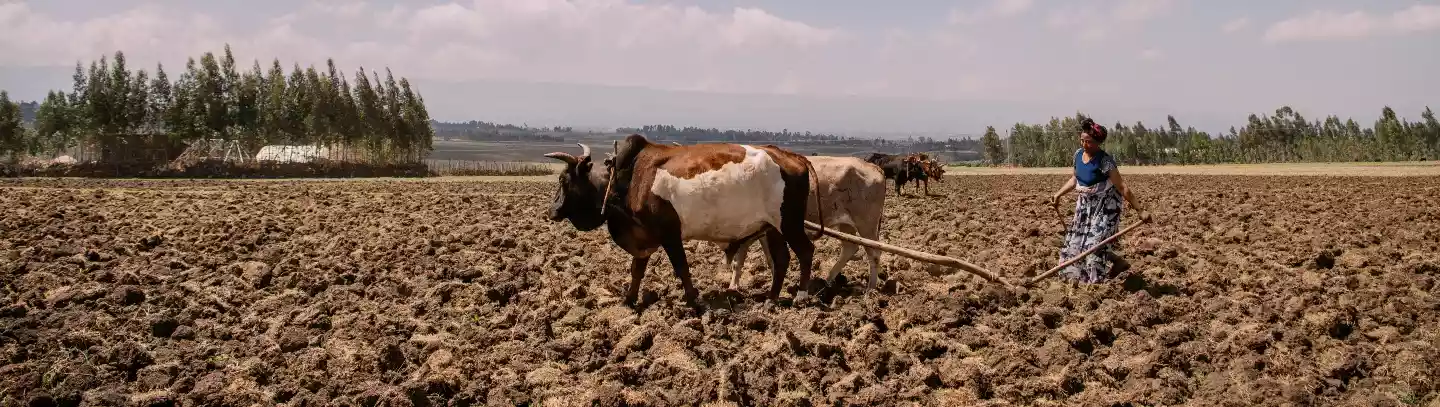
Climate-induced disasters like floods, earthquakes or hurricanes come in all forms, impacts and magnitude, damages and destructions. The trail of destruction and images, both mental and physical, that they leave provide platforms for visual analysis and interpretation, during and in the aftermaths of natural disasters.
By Peter Makwanya
Visual interpretation at a small-scale, assist us in coming up with necessary and appropriate response mechanisms to damage assessment and disaster management practices. Small-scale visual interpretation is critical although it is sometimes overtaken by the emergence of large scale data as well as other factors like empathy and compassion. These include, the number of deaths or injuries that would have occurred as well as severe losses of livelihoods.
When disasters such as floods, earthquakes and droughts occur, they leave long-lasting negative impressions and traumatic experiences. They leave sorry sights, very sad moments and horror images in the lives of those affected and the observers as well.
The images that would have been taken by satellite provide guides to fair and balanced representations of what would have occurred but they are sometimes a background to some important aspects. These images are useful in coming up with value-added frameworks that would assist analysts in analysing and interpreting post-climatic experiences at large scales. Although this is important, it is also significant to interrogate the use of small and local scales as they help in the building of a larger case as well. Photographing of scenes help to build local cases, events and experiences. These are small, authentic and spot on details which are sometimes largely ignored or overtaken by grand visuals.
Small-scale imagery helps in feeding into the local scale hierarchies, normally building accurate climate cases. These help to communicate spatial climate data, and also it is the communicative side of the visuals which appear to have been overtaken by complex, technical and scientific models. This is not to say that the models are not important, but they leave out some small climate elements and also the concerns of the common people.
Remote-sensing images are good as they are representations of the large parts of the earth but they tend to background small-scale context specific images. These contribute significantly, in the building up of cases for damage control and assessment. Localised and small-scale imagery helps in coming up with updated local archives which can assist communities to manage future impact at local levels.
Visual interpretations at local scales shape community practices of property damage detection and control. As such, only fair and good results come out as a result of visual interpretations, and this include small-scale visuals as well. Such issues like shape, colour and texture appeal to sensory properties as well as adding value to the processes of interpretations. Visual interpretation provides credibility and reliability in terms of analysing images at community levels in order to manage community experiences and aspirations. Small-scale damages which can be described as low-scale help in the building up of larger cases. But analysts are always pre-occupied with big data in natural disaster management practices.
- Chamisa under fire over US$120K donation
- Mavhunga puts DeMbare into Chibuku quarterfinals
- Pension funds bet on Cabora Bassa oilfields
- Councils defy govt fire tender directive
Keep Reading
Small-data interpretations can also provide a variety of options and perspectives for predicting and forecasting natural disasters in the making.
Lower-grade visuals can also become crucial elements in communicating disaster risk reduction. Communication networks such as social media and other forms of new media technologies play significant roles in linking communities. Such cases as small-talk and exchanges help to engage, network, transform lives of people and gradually feed into the big data communication frameworks.
Communication provides valuable information that can be validated by a large cross-section of societies. Such information is dependable, vital and credible for future planning purposes. Peter Makwanya is a climate change communicator. He writes in his capacity and can be contacted on: [email protected]