MIDLANDS State University (MSU) has partnered the University of Cape Town (UCT) to carry out a three-dimensional mapping of Great Zimbabwe Monuments in Masvingo.
by Stephen Chadenga
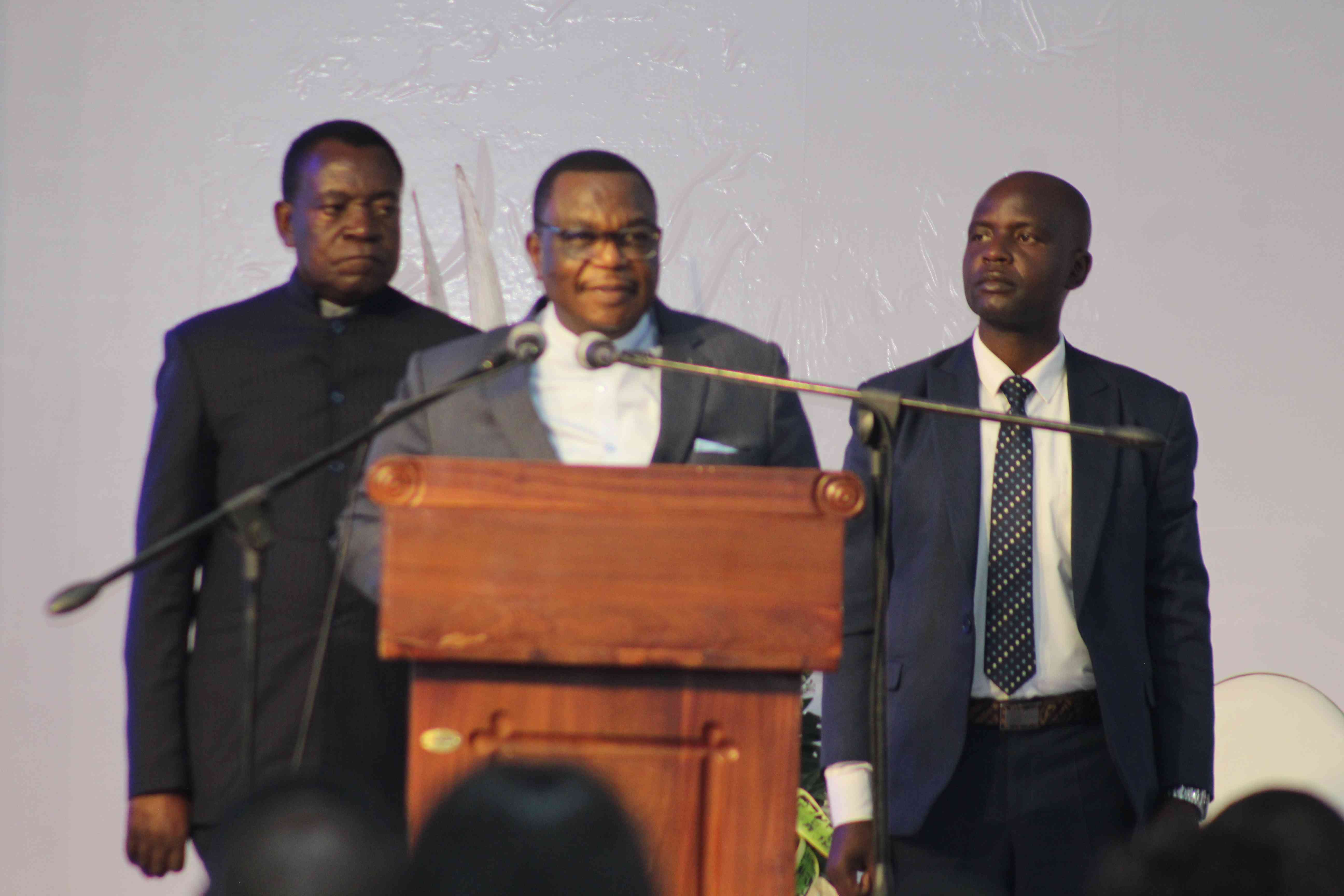
This emerged during a public lecture organised by the MSU faculty of science and technology in Gweru last week.
Three-dimensional mapping is a process of gathering location information so that data can be presented in a form that has three-dimensions such as latitude, longitude and height above sea level, which can easily be interpreted by a user.
Heinz Ruther, from the geomatics division at UCT, presented the lecture entitled The 3-Dimensional Spatial Documentation of Africa’s Cultural Heritage, whose main focus was on the application of photogrammetric and laser scanning-based imaging systems, in three-dimensional mapping of cultural heritage sites in Africa.
“During his presentation, Ruther also made specific reference to research work being undertaken locally, with particular reference to ‘Dzimba Remabwe’, commonly known as Great Zimbabwe, in Masvingo province, where some mapping work is being carried out,” MSU said in a statement.
“The mapping is expected to be complete in January 2017 through a collaborative effort between the UCT geomatics division-based Zamani Group, and the Departments of Surveying and Geomatics and Archaeology, Cultural Heritage and Museum Studies at the Midlands State University.”
The advantage of three-dimensional mapping is that state-of-the-art technology is used in the preservation of cultural heritage sites.
- Chamisa under fire over US$120K donation
- Mavhunga puts DeMbare into Chibuku quarterfinals
- Pension funds bet on Cabora Bassa oilfields
- Councils defy govt fire tender directive
Keep Reading
Digital data can be used to monitor and manage gradual architectural deterioration at cultural sites and help in reconstruction at such sites.


